Bavantha Udugama · Robotics engineer · Netherlands
SLAM. Vision.
Navigation.
I build systems that help robots understand where they are, map their surroundings, and decide where to go. My work connects learned perception and visual-inertial estimation with embedded deployment and navigation in the field.
Available immediately · Robotics roles & research collaborations
- Camera + IMUMonocular spatial mappingVisual-inertial estimation and hierarchical 3D scene graphs
- 25.53 fpsEmbedded perceptionM2H-MX-L · 256 × 192 · Jetson Orin NX 16GB
- 30+ robotsCommercial deploymentNavigation software · 10+ enterprise clients
Selected work / Research to deployment
Perceive. Localise. Navigate.
01 / SLAM & spatial mapping
From a camera stream to a structured world.
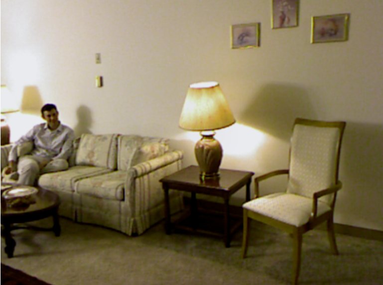
I developed Mono-Hydra++ to connect learned depth, visual-inertial estimation and hierarchical 3D scene graphs, then integrated the mapping stack on a custom drone.

02 / Computer vision
Learn geometry and semantics together.
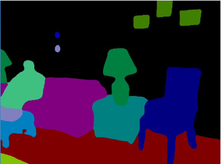
I develop multi-task perception models and evaluate their predictions inside a running mapping system. I take inference from PyTorch to ONNX and TensorRT on Jetson.
03 / Navigation & field deployment
Navigation beyond the lab.
I built navigation software for service robots, integrated sensors and vendor SDKs, and led a three-engineer team through customer deployments and changing crowds.
Autonomous exploration / ATLAS
Teach a robot where to go next.
I developed ATLAS to select exploration goals from a persistent belief graph of places, open ends and unfinished work. The learned policy ranks routes admitted by a geometric planner.
Simulation validated · Drone transfer underway
Fully trained and tested in simulation, with earlier iterations tested on the drone. The current policy is now being transferred to the aircraft.
Explore the ATLAS approachConnected expertise
From the model to the robot.
I connect learned perception, spatial mapping and autonomous exploration, then engineer the software for the robot’s hardware.
- InputCamera + IMUMonocular visual–inertial sensing
- 01Deep learning perceptionMetric depth · semantic labels
- 02Spatial AI and SLAMVIO · mapping · scene graphs
- 03Autonomous explorationImitation + reinforcement learning
Embedded robotics / Hardware integration
Built for the aircraft.
Models, estimation and mapping.
On the robot’s own compute.
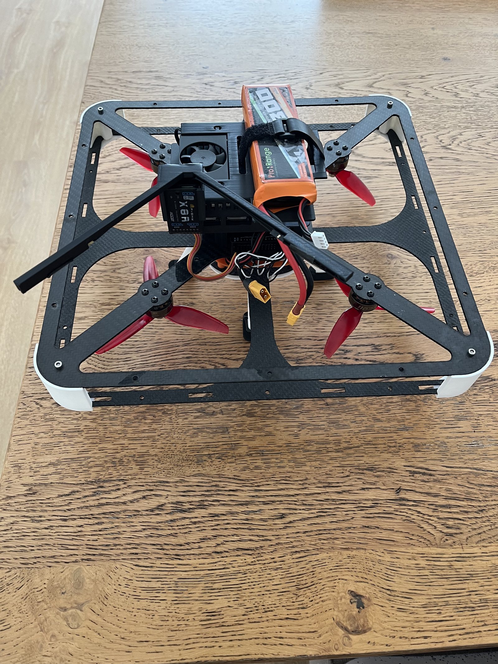
I built and flight-tested the custom drone, integrating camera–IMU sensing, learned perception, odometry and scene graph construction on Jetson.
Trace a frame through the stack ↗Watch the aircraft in flight
The aircraft carries its mapping compute onboard. The ITC demo above shows the separate scene graph recording.
Research contributions
Selected publications.
- Mono-Hydra++: Real-Time Monocular Scene Graph Construction with Multi-Task Learning for 3D Indoor MappingUnder review at ISPRS Journal of Photogrammetry and Remote Sensing
- M2H-MX: Multi-Task Semantic and Geometric Perception for Real-Time Monocular 3D Scene Graph ConstructionAccepted, ICRA 2026 SRRA Workshop
- M2H: Multi-Task Learning with Efficient Window-Based Cross-Task Attention for Monocular Spatial PerceptionPublished, IEEE/RSJ IROS 2025
Engineering & leadership
Build systems.
Lead their delivery.
I led a three-engineer team in industry, designed robotics labs at Twente, and supervised three master’s thesis students.
Experience & education ↗
Based in the Netherlands · Available immediately
Let’s build the next robot.
SLAM, computer vision, navigation and embedded robotics.